Event Coverage, Regional Coverage
Trail Report Geronimo Trail
By the staff of 4Low Magazine
 In southern Arizona and New Mexico is a little patch of land with a long history. It is named for the famed Indian Geronimo who played cat and mouse with the US Troops under Crook, Miles, and Gatewood until Gatewood managed to arrange a conference with the Indian chieftain. The trail begins in the center of Douglas, Arizona, not far from the tourist cities of Bisbee and Tombstone. At the intersection of West Airport Road and 15th Street.
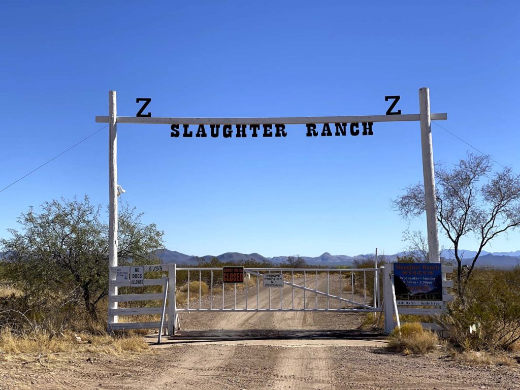
Heading east out of town, the road is initially paved, giving way to a wide, sweeping gravel road before turning to dirt. The San Bernardino Valley is wide and flat, not the auspicious start we expected of a 4×4 trail. At the curve north, just before the New Mexico border, you’ll come across the Slaughter Ranch. Texas John Slaughter bought 65,000 acres here in 1884, just before being elected Sheriff in Cochise County. Slaughter was the first sheriff to follow the lawlessness after the infamous shootout at the O.K. Corral in Tombstone. He was determined to see justice done.
Heading north on Cottonwood Draw (C002), you’ll end up in the Coronado National Forest, at the foot of the Peloncillo Mountains. This is the only area you need a high-clearance vehicle. Depending on your driving skills, you may not even need four-wheel drive. The drive through the national forest is steep and windy; it is filled with hunters in the fall.
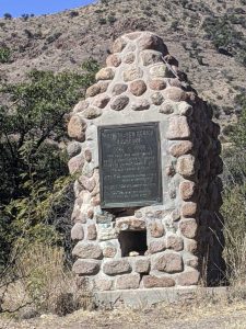
At the summit, you’ll find a monument to the soldiers of the Mormon Battalion during the time of the Indian Wars. Continue on FR83 to Field Ranch and drop down to Cloverdale. The ghost town has been completely wiped off the map but still is a testament to the hard life of settlers and miners. We took San Luis Pass Road in an attempt to find a way through San Luis Pass over the Continental Divide. The road passes through many huge ranches and is gated at the base of the San Luis Mountains.
 Follow Cloverdale Road north to Animas and the conclusion of the Geronimo Trail. From there, you can follow Highway 9 along the US/Mexican border all the way to El Paso, Texas. Do not confuse the Geronimo Trail with the Geronimo Trail National Scenic Byway; they are not the same.


