Uncategorized
Trail Report Find Your Next Adventure
Story by Ryan Boudreau
People are always asking where they can find trails to ride on or disperse camp? So, I figured I would put a little tutorial together on a simple, easy way to find routes and camping and a free app you can use to navigate those trails. This tutorial uses an Android, but the app is also available for Apple and works the same way.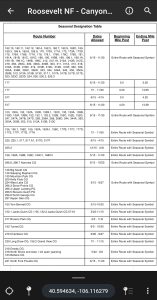
First, you will need to go to the app store and download Avenza Maps. It’s free.
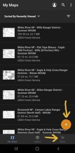
Once in the app, you can get maps in two ways: either click the + symbol or go to the store directly. The + symbol allows you to organize your maps or add maps. When importing or downloading maps, you have a few different sources. Generally, you would use the store to search for maps available, so we will continue that route. But you may already have a map on your phone or storage device, or perhaps have purchased a map online elsewhere, like, through Cartotracks, you would use the “URL” feature. A QR scanner in the top right is available to directly download maps you might find at kiosks that offer a QR code.
 If in the store, go to keywords and type in the forest name, followed by MVUM. MVUM stands for Motor Vehicle Use Map and is the official record for what is traversable by vehicle. You can Google “forests near me” if you don’t know the names. Then hit search. You will get a listing of all MVUMs in that forest. They are all free but know that there is a limit to how many maps can be downloaded into the app’s free version. The paid version is cheap and allows an unlimited number of maps.
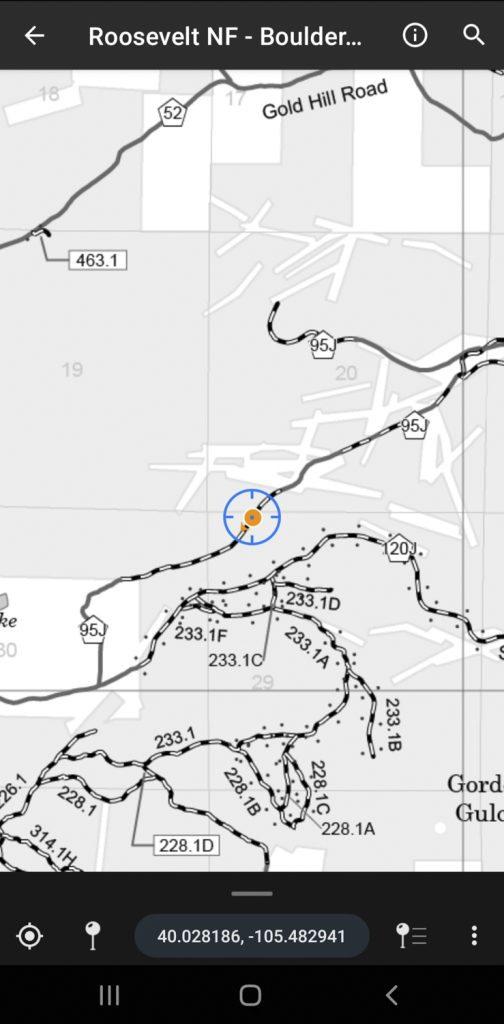
Once you have the map you want, you can see all of the roads/trails in that area, and the maps are geo-referenced, showing your location on the map. You can even drop pins and record tracks on the map.
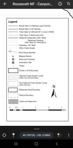
Refer to the map legend for specific trail usage and other items like seasonal closures and locations allowing dispersed camping. Allowable camping areas are noted with dots on the side of the trail. Trails that are highlighted gray have seasonal closures, and each map will include a seasonal closure table that lists the dates the trail is generally open. I say generally because sometimes the snow conditions warrant an early or later closure
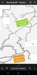
to protect the area. Special forest orders like a mud closure, fire closure, etc., won’t be listed here.
Maps for BLM land can be searched on Avenza too, but the naming conventions are not as streamlined as the Forest Service. Call your local BLM office to get map names. Those maps will also be free.
Finally, you can use Avenza to purchase all kinds of Geo-referenced maps like National Geographic maps that can usually be found in paper form at any outdoor store.
I hope this helps you find your next adventure.