Land Use
Trail Report: Broken Arrow, Sedona, Arizona
 It’s a busy off-road season as fall cools down, but with fire damage in California, busy events in southern Utah, an overall malaise regarding Moab, where should you go in the West? We’d recommend Sedona, Arizona.
Long known for its energy, Sedona is a haven for spiritual wellness due to the energy vortexes many believe surround the community. There are five areas that have been specifically identified as vortexes. Airport Mesa, Bell Rock, Cathedral Rock, Chapel of the Holy Cross, and Boynton Canyon. If you’re just looking for great scenery and challenging off-road trails, Sedona has those too.
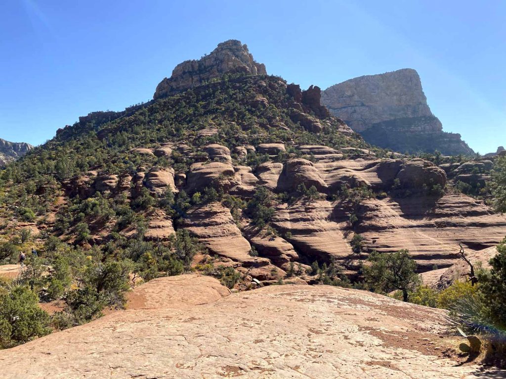
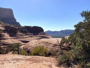
Considered one of the most challenging trails in the area, we recommend Broken Arrow. While hard is relative based on your vehicle and experience, the scenery can’t be beat. Sedona has some gorgeous red rock views.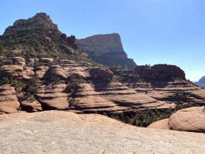
Part of the Coconino National Forest, Broken Arrow is a multi-use trail. You will find hikers, cyclers, and four-wheel drives on the trail; the best part is that the trail has been built for multi-use with variations in the trail running parallel with cross-overs to accommodate all users. But like most things with different types of use, that adds to its popularity and crowdedness.
Access to the trailhead is through a neighborhood; please slow down and be respectful. Once you get to the trailhead, you’ll find the crowds.
Hikers and bikers trying to get parked, four-wheel drives trying to get past it all need to proceed cautiously.
Once you are past the congestion, the trails diverge enough that you’ll enjoy the trail.
The forest service describes Broken Arrow as a double black diamond. “Very challenging, skilled drivers recommended. Features Slickrock, rock ledges, and “the steps.” Modified high clearance vehicles with short wheelbases and skid plates recommended, not for stock vehicles.”
Broken Arrow has tw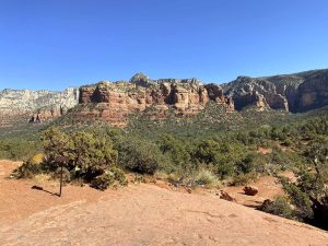 o natural gatekeepers; if you have difficulty on either, you should not continue. The first is the bump to enter the trail; the second is the ‘last chance’ climb that curls over the Slickrock slab. There are mile markers and arrows throughout; follow the markers; if you don’t, you’ll find yourself face-to-face with a Pink Jeep Tour Jeep and nowhere to go to get out of the way.
The one-way loop begins at the one-mile mark and then reverts to two-way traffic at 1.6 miles. Your destination is Chicken Point and a beautiful overlook area. You may have to wait for photos as the Jeep tours tend to dominate the rock for pics of their guests.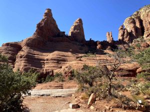
Continuing, you’ll drive around Mushroom Rock; there are two options as you come off the roundabout, the Slide or a gentler rise off to the side of that. The road continues until MM 3, where you will encounter the Stairs. The Stairs are the most technical part of the drive, a narrow chute of boulder-strewn trail.
From the end of the Stairs to the end of the trail is just another mile. Plan an hour and a half or more if you love to take scenic pictures; there are a ton of opportunities!

